Upper Diyaluma Trek
Description
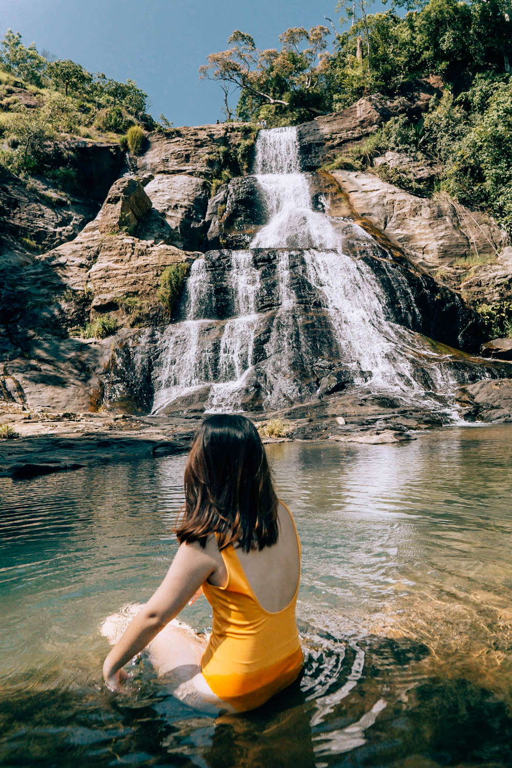
Uda(Upper) Diyalum is a popular domestic and foreign tourist destination in Sri Lanka. That is the upper part of Diyaluma Falls. Diyaluma Falls is the second highest waterfall in Sri Lanka. It is 220 meters / 722 feet high. The first place belongs to Bambarakanda Falls with a height of 263 meters / 863 feet.
The Bambarakanda waterfall, which originates from the Poonagala Oya(river), joins the Kiridi Oya(river) and joins the Indian Ocean at Hambantota Kirinda.
There is a beautiful urban legend associated with Diyaluma Falls. A nobleman (also called a royal prince) had an affair with a low-caste woman and after finding out about the prince's side, the prince was expelled from the caste.After that, while traveling to the mountain area with his girlfriend, he came near the rock where Diyalum falls, and there the climbing of this rock was obstructed. After thinking about it, the prince has climbed the rock with difficulty and has put a rope from top to bottom to take his girlfriend up. She died because she got tangled in the rope while going up there.Seeing how sad the prince was, one of the gods ordered the river to fall on this rock forever. The legend says that the Poonagala Oya flowed through the Mem Rock and formed the Diyaluma Falls.
It is read that it gradually evolved as diyahaluma and then became diyaluma.
Geographically, a waterfall is formed when a river flows through a plateau (flat land on high ground) and meets a steep slope (elevation lines/contour lines very close together). According to the Davisian cycle of erosion (William Morris David), it is a landform that occurs during the first stage of a river, i.e. during its youth.
Accordingly, the Poonagala Oya coming through the Koslanda plateau is 680 meters above sea level along a steep slope, at 06°44'00'' north latitude and 81°01'53'' east longitude (according to the model globe), when the waterfall flows down.
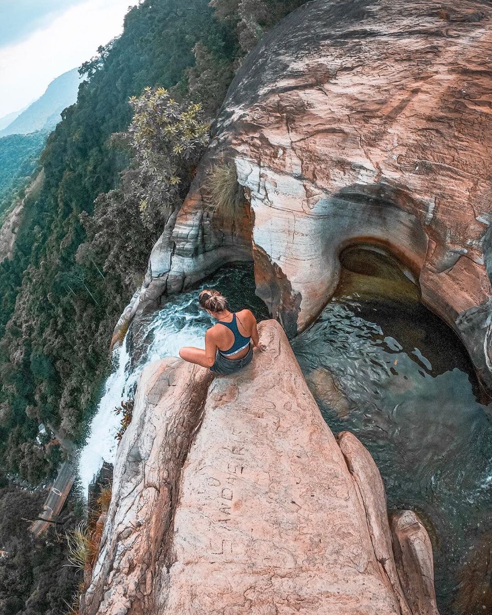
This place is a sight to behold. It means that the river comes between two stones / a stone barrier and falls down. Coming across a naturally formed rocky feature, the river falls down. "Galvana" is a topography of the first stage of river erosion. In the initial stage of a river, the velocity is high and the slope is high. As such, the load (stones/blocks of rock) brought in is a groove-type topography created by the rotation of the river bed.
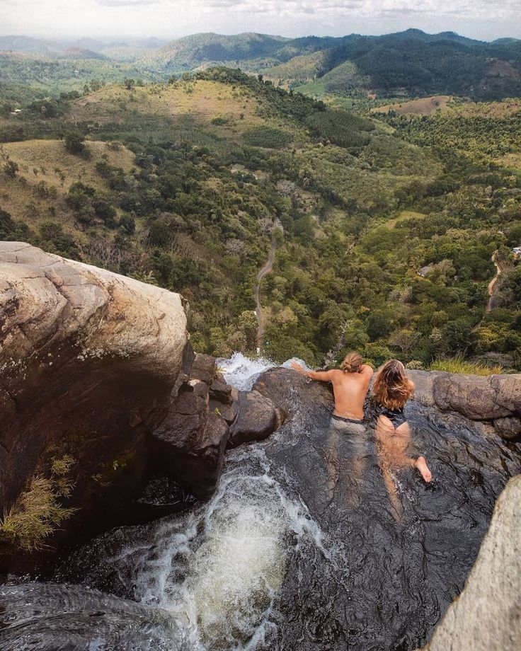
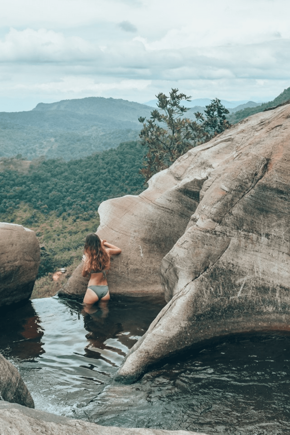
Above the starting point of Diyaluma Falls, at a height of nearly 780 meters above sea level, at 06°44´07´´ North Latitude and 81°01´56´´ East Longitude, there is another small waterfall called Uda(Upper) Diyaluma,which comes along with a pool like pond, where bathing is pretty safe.
At the top of this waterfall were pools that were deep enough for jumping.To get up to the upper pools, just follow along on the same path for about another 5 minutes.
It is possible to camp near the waterfall and enjoy a bbq dinner provided by Our Team. You will be given all the necessary camping gears and equipment.Also in the morning You will get to see the sunrise from a different view and enjoy a simple authentic Sri Lankan breakfast. Usually it takes about 45 mins for the hike and it is recommended to have a local guide because you really wouldn’t want to get lost as the trail is unmarked, and there are reports of wild elephants and other animals, which You don't have to worry,since we provide a professional to escort You to the top.
Upper Diyaluma is located 6 km from Koslanda town near Colombo - Batticaloa (A4) road and 13 km from Wellaway on Beragala road.
| Day(s) : 1 | Max People : 10 | Get a Quote |
| Min Age : 0 | Pickup : Any Location | Langauge - Any Language |