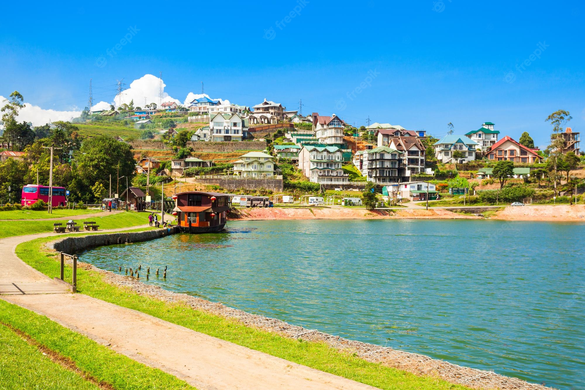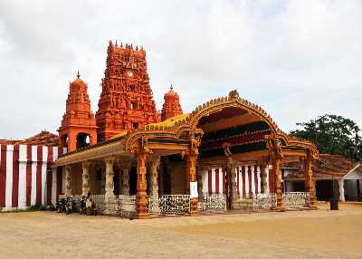
Nuwara Eliya
20/09/2022
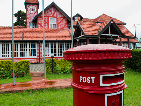
NUWARA ELIYA
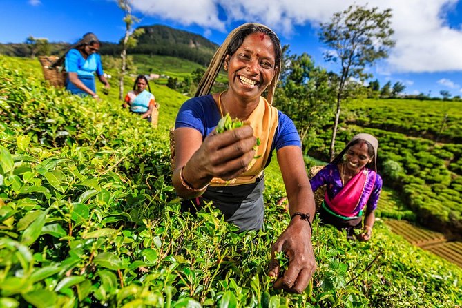
Nuwara Eliya, situated approximately 100km (62 miles) south of Kandy and among some of Sri Lanka's most verdant hillsides at 1800m (5906ft) above sea level, is more reminiscent of the days of the English tea planters than any other place in Sri Lanka. With mountain forests, wilderness areas and national parks in easy reach starting only 8km (5 miles) from the centre - Nuwara Eliya is a very popular base for bird-watchers and ecotourists. It also has an adequate 18-hole golf course.
Victoria Park
This ornamental park located in the centre of town is a pleasant place for a walk. It ia also popular with birders in search of Himalayan migrants such as pied thursh, Kashmir flycatcher, Indian blue robin and Indian pitta, as well as highland endemics such as yellow-eared bulbul. Open daily. Galways Land National Park A few kilometres from the town centre, it provides access to visitors who would like to experience a highland forest, though it's nearly 2km (1.2 miles) of footpath. Open daily.
Pidurutalagala
Sri Lanka's highest peak, also known as Mount Pedro, rises 2524m (8281 ft) above sea level, immediately behind the town. Unfortunately, the path to the summit, which is the site of Sri Lanka's main television transmitter, is closed to visitors for security reasons. For a view of the summit, and a superb panorama of the surrounding hills and plantations, you can walk to the top of the picturesquely named Single Tree Mountain, south of the town off the Badulla road, in about 90 minutes.
Hakgala Botanical Gardens
After the Royal Botanical Gardens at Peradeniya, Hakgala, 10km (6 miles) south of Nuwara Eliya, is the second most important garden in Sri Lanka. Though on a smaller scale than those at Peradeniya, Hakgala's plantations of roses, shrubs, ferns and montane woodland are delightfully located, with scenic views. Above the gardens, a forest trail leads into virgin woodland - the home of a troop of purple-faced leaf monkeys, a species endemic to Sri Lanka, and to endemic bird species including the Sri Lanka white-eye, Sri Lanka wood pigeon, and Sri Lanka whistling thrush.
Horton Plains National Park
Declared a UNESCO World Heritage Site in 2010, the landscapes of this high, misty plateau, some 20km (12 miles) south of Nuwara Eliya and up to 2400m (7874ft) above sea level, are unique in Sri Lanka, combining mountain grassland with areas of miniature 'elfin' forest- dwarf forms of trees and shrubs adapted to the cool climate and skimpy soil of the plains. Above the plateau rise the summits of Kirigalpotta and Totapola, at 2395m (7858ft) and 2357m (7733ft) respectively,
they are Sri Lanka's second- and third-highest peaks. Wildlife includes sambar, which keep to the edge of wooded areas, bear monkey, often seen and heard in
forested areas, and giant squirrel and leopard, which are shy and very rarely seen. Many visitors make a bee-line for World's End, the 900m (2953ft) drop-off that forms an abrupt southern boundary to the plains. For the best views, arrive at sunrise, before the mist that often shrouds the slopes.
Knuckles Conservation Forest
The Knuckles Range, with more than 30 peaks over 900m (3000ft) in height (the highest, Gombariya, rises to 1906m/6248ft), is a unique ecosystem bounded in the east by the Mahaveli River system and to the west by the Matale plains. The area has been designated as a UNESCO World Heritage Site. The Knuckles Range Nature Centre at Pitawala, near Ilukkumbura, offers a overview of the region, its wildlife, and the way of life of the people who live in its mountain villages.
Adam's Peak (Sri Pada) & Peak Wilderness Sanctuary
Horton Plains National Park borders the Peak Wilderness Sanctuary, a crescent, 40km (25-mile) swathe of montane forest that can be approached from Dalhousie, 25km (15 miles) west of Nuwara Eliya, off
the main Nuwara Eliya-Colombo road, or from Carney, 8km (5 miles) north of Ratnapura. Adam's Peak, in the centre of the sanctuary, is recognized as a sacred place by all Sri Lanka's religions. Muslims and some Christians say the 'footprint' in the rock atop the rust-red, 2243m (7359ft) peak is where Adam first set foot on earth after being exiled from Eden. Other Christians say it is the footprint of St Thomas, who brought Christianity to southern India in the 1st century AD, while to Hindus it is the mark of Lord Shiva. Buddhists, however, who have covered the original 'print' with a larger than life concrete copy, say it was made by the Buddha on his third visit to Sri Lanka. In the pilgrimage season, from December until
April, thousands trek to the top each day, taking all day to complete the 8km (5-mile) ascent from Dalhousie village. At other times, the ascent will take you around
four hours.